


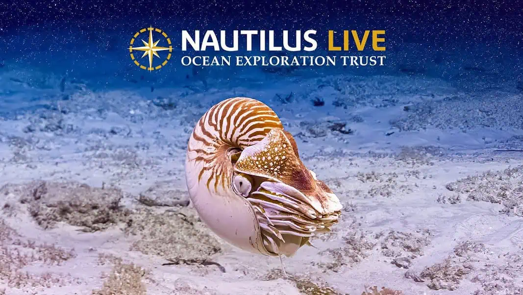
The Ocean Exploration Trust has announced the launch of an expedition aboard its exploration vessel Nautilus to map some of the least-explored areas in US waters.
The vessel is set for a 22-day mission to acquire high-resolution bathymetry around the Howland and Baker Islands — remote coral atolls in the Central Pacific, approximately 1,800 miles/2,897 kilometers southwest of Hawaii.
The United States Exclusive Economic Zone here is among the least explored US territories. NOAA is funding the expedition via the Ocean Exploration Cooperative Institute. Nautilus will survey previously unsurveyed seafloor near these islands and along its route between the Republic of the Marshall Islands and the Cook Islands.
Howland and Baker are very remote locations, lying roughly midway between Hawaii and New Zealand. These low-lying coral sand islands are ringed by narrow fringing reefs and surrounded by deep ocean. Both host National Wildlife Refuges where millions of seabirds nest and rest.
Despite earlier scientific visits, nearly 90 percent of the 425,700-square-kilometer/164,364-square-mile seafloor remains uncharted.
Commenting on the new expedition, Ocean Exploration Trust Chief Scientist Daniel Wagner stated:
“Seafloor mapping is foundational to a wide range of management and scientific applications, including safe navigation, hazard prediction, habitat and environmental modeling. The majority of the seafloor in the US Pacific Island Region remains unmapped, hindering efforts to manage the resources of this vast region effectively.”
While OET Mapping Operations Manager Derek Sowers added:
“OET is committed to providing real-world field experience and training to the next generation of hydrographers, marine scientists, and educational leaders. The opportunity to join an at-sea expedition can be life-changing for many people.”

