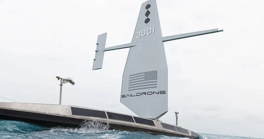
Saildrone has started mapping the Cayman Islands Exclusive Economic Zone.
The work is being carried out by a 20m/66ft Saildrone Surveyor Uncrewed Surface Vessel and looks to cover the 29,300 square nautical miles (100,530 sq km) of the island’s economic zone.
The mapping will be a groundbreaking effort, with over 80% of the Island’s EEZ having been mapped using autonomous technology. The mission is philanthropically funded by the London & Amsterdam Trust Company Limited, a Cayman-based organization that wishes to leave a concrete legacy for the islands.
According to Juliana O’Connor-Connolly, Premier and Minister for District Administration & Lands:
“Our waters hold such great value to us for a myriad of reasons ranging from recreational to economic. Conducting this assessment will allow our government to make data-driven decisions that will strengthen our policies and legislation as it relates to our maritime infrastructure. I am grateful to all parties who have worked to bring this initiative to this junction and am eager to learn of the survey’s results and outcomes.”
While Saildrone Vice President for Ocean Mapping Brian Connon added:
“Saildrone’s Surveyor class of USVs provides an available, economical, climate-friendly solution to mapping the world’s oceans. The data gathered by this USV will provide valuable insights into the Cayman Islands’ underwater topography, aiding in the mapping and exploration of the country’s marine resources and ecosystems.”

