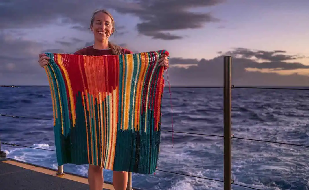
What better way to spend time bathymetry mapping the Johnston Atoll than to turn the map into a stunning crochet blanket?
That’s exactly what NOAA Ocean Exploration Internship Program Coordinator Jesse Gwinn did during her downtime.
Gwinn spent her downtime aboard the NOAA Ship Okeanos Explorer creating a crochet bathymetry blanket. In total, she produced a blanket with 13,580 linked double crochet stitches representing the massive changes in depth around Johnston Atoll.
Gwinn chose 11 colors in her work: Yellows and reds were for shallower depths representing areas between 2,000-4,000 meters/1.2-2.5 miles. At the same time, purples and blues were earmarked for deeper regions representing depths between 4,000-6,000 meters/2.5-3.7 miles.
In terms of representation, each vertical row features two colors for the deepest and shallowest points during a six-survey period. The blanket’s color change point represents the average depth recorded during the survey period.
(Featured Image courtesy of NOAA Ocean Exploration, Beyond the Blue: Johnston Atoll Mapping.)

