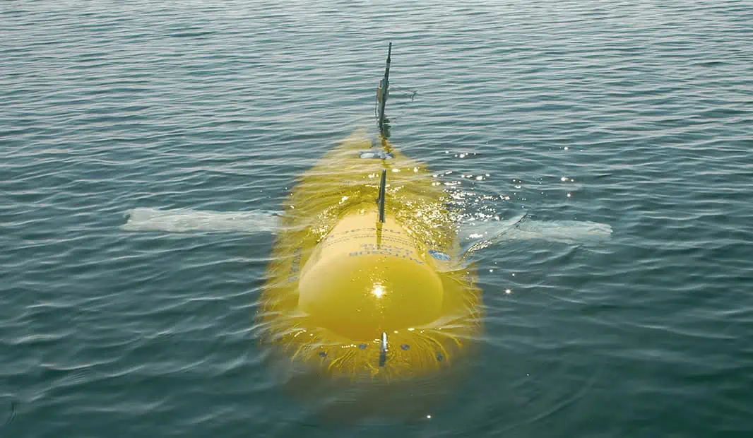
A new fully autonomous Marine Protected Area Seafloor Survey has just been completed by the UK’s National Oceanography Centre in conjunction with the Department for Environment, Food and Rural Affairs (Defra) and the University of Southampton.
The survey covered the Central Fladen Nature Conservation Marine Protected Area, and was carried out using the Autosub Long Range (ALR) unmanned underwater vehicle which became famously or infamously known as “Boaty McBoatface.” The sub used a 3-dimensional imaging instrument developed by the University of Southampton to conduct the detailed imaging process. The project goals aim to help the UK government reach its marine monitoring goals.
According to Dr. Brian Bett, the project lead from the National Oceanography Centre:
“The UK has around a quarter of a million square kilometers of offshore marine protected areas, which is equal to the total land surface of the UK. Finding an effective and efficient method of monitoring these areas is challenging, with autonomous vehicles likely to play a key role.”
You can learn more about the Marine Natural Capital and Ecosystem Assessment program here.

