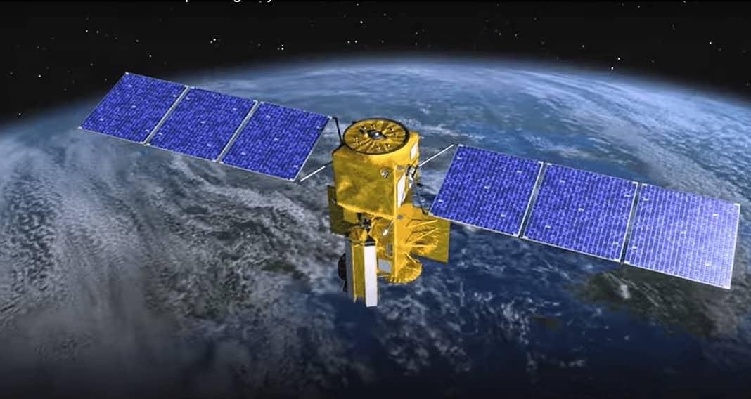
A new UK-backed satellite that aims to monitor ocean surface water has launched from Vandenberg Space Force Base in California.
The Surface Water and Ocean Topography (SWOT) satellite will use revolutionary new radar technology to survey up to 90% of the earth’s surface. The data generated by the spacecraft will enable researchers and scientists to better understand our planet, study the effects of climate change, and reduce and mitigate the risks of global flooding.
The SWOT craft uses new KaRIn radar technology and is a collaboration between NASA, the French space agency, CNES, the Canadian Space Agency (CSA) and UK Space Agency.
According to the Principal Scientist in Satellite Oceanography at National Oceanography Centre NOC Professor Christine Gommenginger:
“For the first time, SWOT will produce detailed images of water levels that will help understand the complex processes that connect water levels over the ocean and inland waters. One objective of SWOT-UK is to demonstrate how satellite Earth observation data can be used with in situ instruments and numerical models to answer important questions for science and society.”
While Dr. Paul Bate, the CEO of the UK Space Agency, stated:
“SWOT will revolutionize our understanding of our planet’s surface water and how its patterns are changing, giving us vital information to improve how we manage one of humanity’s most precious resources. This is an important mission for the UK to be involved in, both in terms of building the radar instrument and in directly receiving and analyzing Earth observation data for the UK. I look forward to seeing the data that the satellite returns on the Bristol Channel and Severn Estuary.”
Additionally, Paul Bates, Professor of Hydrology at the University of Bristol, who was one of the original scientists to pitch the idea of SWOT to NASA more than 20 years ago, stated:
“SWOT will transform our ability to track freshwater on planet Earth and currents in the ocean. For the first time, we will be able to track flood waves moving down river systems and see the rise and fall of water levels in millions of lakes and wetlands worldwide. We will not only be able to use these data to make new scientific discoveries, but also to help populations worldwide better manage water hazards and resources.”
You can check out a video about the mission below.


