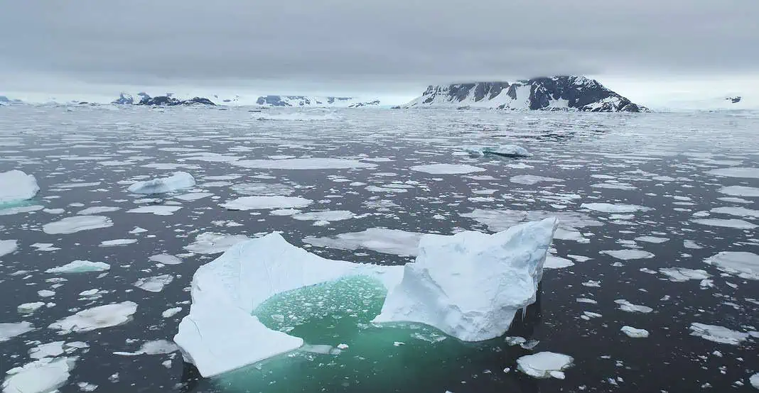
University of Washington researchers have shown that the all-time low record of Antarctic sea ice can be predicted by by wind patterns.
The team has shown that the warm winds that circle Antarctica months in advance give a very strong indication to the level of sea ice coverage. What’s more, this forecast can be made months in advance.
The new discovery is considered a breakthrough since existing methods of predicting sea ice levels are too imprecise. Antarctic sea ice plays a crucial role in coastal ecosystems, as well as in the global climate, by reflecting sunlight and impacting global current systems.
According to UW doctoral student in atmospheric and climate science and the study lead author Zac Espinosa:
“Since 2015, total Antarctic sea ice area has dramatically declined. State-of-the-art forecasting methods for sea ice generally struggle to produce reliable forecasts at such long leads. We show that winter Antarctic sea ice has significant predictability at six- to nine-month lead times. Antarctic sea ice is a major control on the rate of global warming and the stability of ice on the Antarctic continent. In fact, the sea ice acts to buttress ice shelves, increasing their stability and slowing the rate of global sea level rise. This ice is also important for marine and coastal ecosystems.”
While the study co-author and UW associate professor of atmospheric and climate science Edward Blanchard-Wrigglesworth added:
“It’s interesting that, despite how unusual the winter sea ice conditions were in 2023 and again in 2024, our results show they were remarkably predictable over 6 months in advance.”
You can find the original research here.

