


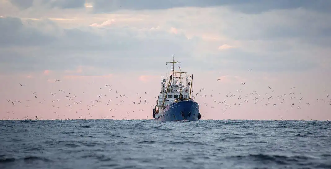
New research shows that highly enforced Marine Protected Areas are having a positive impact when it comes to halting industrial fishing.
The study, titled “Little-To-No Industrial Fishing Occurs In Fully And Highly Protected Marine Areas,” used satellite tracking and artificial intelligence to analyze 5 billion AIS signals and SAR images to unmask dark vessels.
The study results showed that 78.5% of the 1,380 MPAs experienced zero commercial fishing; in the remaining 21.5%, 82% recorded less than 24 hours per year. It also found that strictly protected zones attracted nine times fewer vessels per square kilometer than open unprotected coasts.
Conversely, the research demonstrated that lightly protected or “paper park” MPAs fail to deliver benefits. On the other hand, fully enforced areas restore biodiversity and boost local fisheries by 12–18% via spillover.
Commenting on the findings, study co-author Enric Sala, a National Geographic explorer in residence and founder of Pristine Seas, stated:
“Because strictly protected marine areas discourage illegal fishing, fishes are far more abundant within their boundaries; they produce many more babies, and help replenish surrounding areas. In other words, the fishing industry benefits from following the rules.
“Illegal fishing takes place in areas of the ocean set aside for protection, but using satellites we have found – for the first time ever – that the level of protection determines how much risk industrial fishers are willing to take on.”
While study co-author and Pristine Seas scientist Juan Mayorga added:
“The ocean is no longer too big to watch. With cutting-edge satellites and AI, we’re making illegal fishing visible and proving that strong marine protections work. No single dataset can solve the challenge of monitoring fishing activity at sea; each has its blind spots. But when we combine them, their power emerges.
“By fusing AIS tracking with satellite radar imagery and AI, we are now much closer to the full picture of human activity across the ocean. That’s especially important in the crown jewels of the ocean – the world’s most strongly protected areas – where the stakes for enforcement and biodiversity are highest.”
The study’s lead author, Prof. Jennifer Raynor of the University of Wisconsin-Madison added:
“By using satellites to track fishing-vessels, countries can predict the locations of illegal activities and target patrol efforts, saving both manpower and money.”

